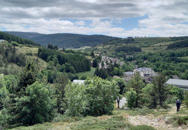
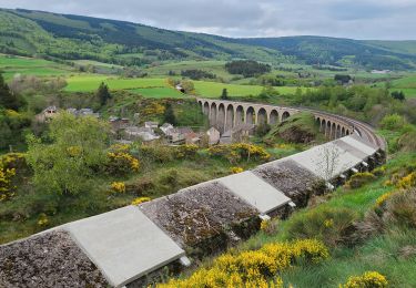
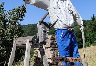
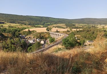
Randonnée  Mont Lozère et Goulet - Chasserades - les sources de L’Allier - Photo

Chasserades - les sources de L’Allier

 sperchant
sperchant

Utilisateur

© OpenStreetMap contributors
Longueur
Longueur
22 km
Altitude max
Altitude max
1502 m
Dénivelé positif
Dénivelé positif
481 m
Km-Effort
Km-Effort  
28 km
Altitude min
Altitude min
1120 m
Dénivelé négatif
Dénivelé négatif
484 m
Boucle
Boucle
Non
Date de création :
2024-05-10 07:05:10.0
Dernière modification :
2024-05-10 17:18:48.496

(0 Avis)


Scannez ce code QR pour ouvrir la randonnée dans l'application SityTrail

Application GPS de randonnée GRATUITE

Logo SityTrail SityTrail

IGN / Instituts géographiques

Télécharger SityTrail sur l'App Store Télécharger SityTrail sur Google Play

Logo SityTrail SityTrail World

Le monde est à vous

Télécharger SityTrail sur l'App Store Télécharger SityTrail sur Google Play Télécharger SityTrail sur Huawei AppGallery

À propos

Randonnée de 22 km à découvrir à Occitanie, Lozère, Mont Lozère et Goulet. Cette randonnée est proposée par sperchant.

Description

Chemins en pointillés sur la carte praticables mais avec une densité de végétation importante (jeunes noisetiers)
Préférer les chemins plus larges.
Certains chemins sont partagés avec les 4x4, quads et motocross. Dommage car la Rando est très sympa.
Temps indiqués non significatifs car ne tiennent pas compte de toutes les pauses.

Profil altimétrique

Localisation

Pays :
France
Région :
Occitanie
Département/Province :
Lozère
Commune :
Mont Lozère et Goulet
Localité :
Chasseradès
Départ:(Dec)
Départ:(UTM)
567100 ; 4933712 (31T) N.

Randonnées à proximité

Randonnée Marche La Bastide-Puylaurent - la bastide saint Laurent _ Le Bleymard - Photo
Marche
MoulinPierrick

Marche

Difficile
(1)
La Bastide-Puylaurent, Occitanie, Lozère, France
33 km | 46 km-effort
6h 59min
Non
Randonnée Marche Mont Lozère et Goulet - Stevenson étape 7 - Photo
Marche
GUIDE
nadinebondoux

Marche

Difficile
Mont Lozère et Goulet, Occitanie, Lozère, France
20 km | 28 km-effort
4h 57min
Non
Randonnée Marche Mont Lozère et Goulet - Stevenson Chasseradès - Le Bleymard - Photo
Marche
GUIDE
VANDERPUTTENMi

Marche

Très difficile
Mont Lozère et Goulet, Occitanie, Lozère, France
21 km | 29 km-effort
5h 4min
Non
Randonnée Marche La Bastide-Puylaurent - Etape 5 Bastide Puy Laurent/ le Bleymard - Photo
Marche
Nathalie. Mercier

Marche

Difficile
La Bastide-Puylaurent, Occitanie, Lozère, France
30 km | 42 km-effort
7h 18min
Non
Randonnée Marche Mont Lozère et Goulet - le Bleymard  - Photo
Marche
jeanjean35

Marche

Très difficile
Mont Lozère et Goulet, Occitanie, Lozère, France
17,3 km | 25 km-effort
5h 14min
Non
Randonnée Marche La Bastide-Puylaurent - Chasséradès  - Photo
Marche
jeanjean35

Marche

Difficile
(1)
La Bastide-Puylaurent, Occitanie, Lozère, France
12 km | 16,8 km-effort
8h 54min
Non
Randonnée Marche Mont Lozère et Goulet - Chasserades Bleymard  - Photo
Marche
GUIDE
Roger Philippe Wallez

Marche

Difficile
Mont Lozère et Goulet, Occitanie, Lozère, France
20 km | 28 km-effort
6h 57min
Non
Randonnée Marche Mont Lozère et Goulet - arsel chasserades au bleymard  - Photo
Marche
labarone

Marche

Très facile
Mont Lozère et Goulet, Occitanie, Lozère, France
14,1 km | 21 km-effort
6h 14min
Non
Randonnée V.T.T. Mont Lozère et Goulet - Chasserades Finiels 2020 - Photo
V.T.T.
JeanPierreNancy

V.T.T.

Difficile
Mont Lozère et Goulet, Occitanie, Lozère, France
48 km | 67 km-effort
5h 36min
Non


Fermer
Mes abonnements